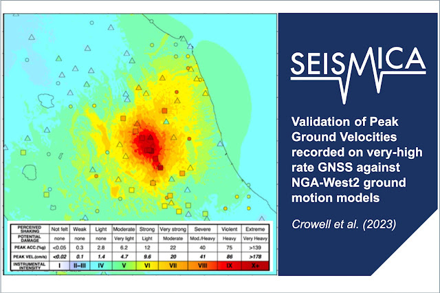
This is very cool! GPS stations track their locations by self-locating using satellites. We use these to "see" tectonic movements year to year, and to measure displacements in earthquakes. But it looks like we can also use them to measure shaking in earthquakes!
Keep reading with a 7-day free trial
Subscribe to Earthquake Insights to keep reading this post and get 7 days of free access to the full post archives.


